Mobile Mapping
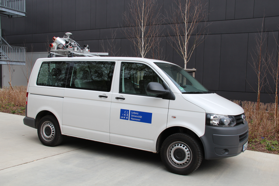


With the Riegl VMX250, the ikg has a mobile mapping system that can be used to measure entire street segments in a short time. This data is further processed at the ikg and used, for example, for 3D city models or as highly accurate maps for autonomous driving. The data is captured using two laser scanners and four cameras. A GNSS and inertial unit as well as an odometer are used for localization. Further information on mobile mapping can be found here.
Virtual Reality
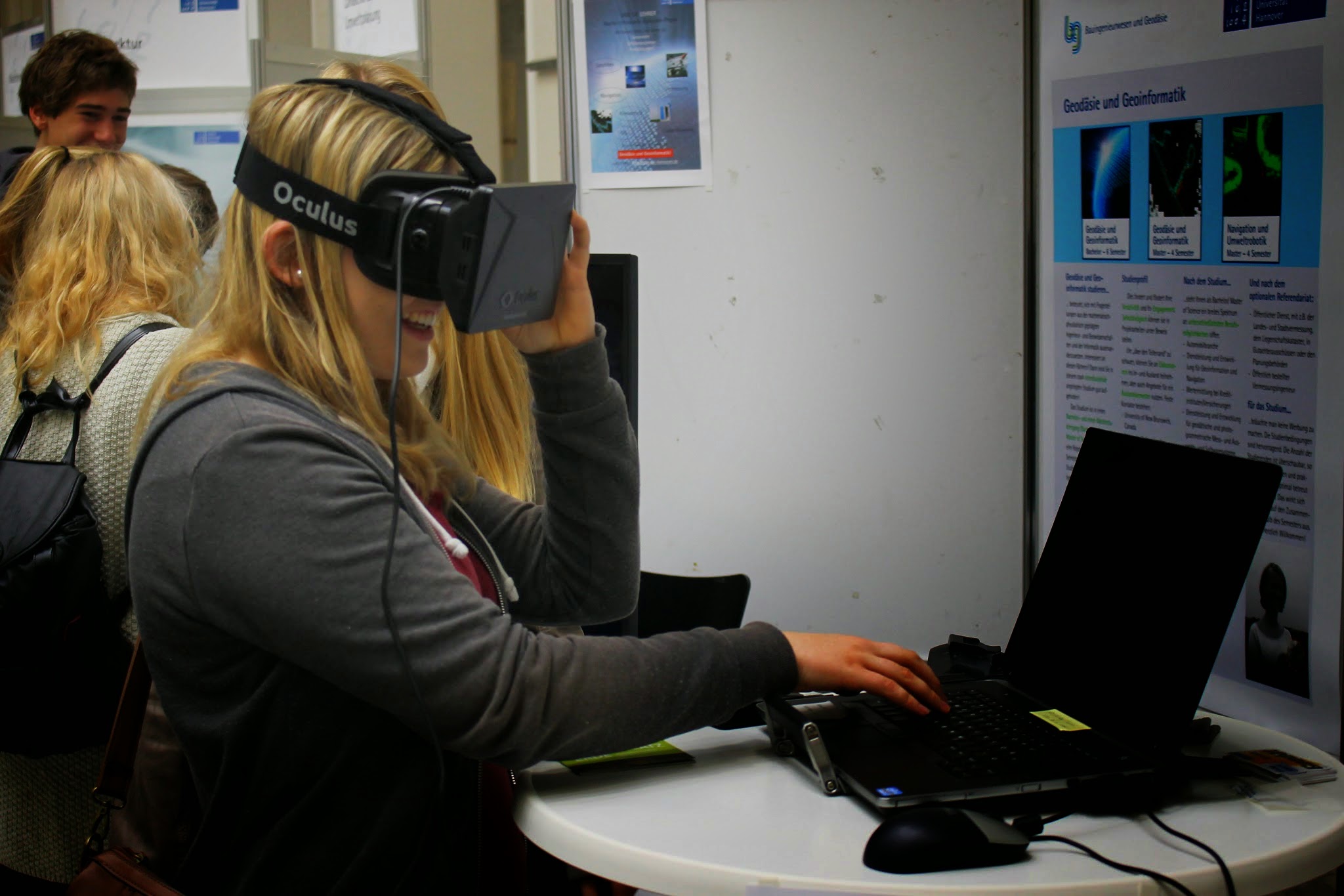
Originally developed from a master thesis, our VR demo, consisting of Microsoft Kinect and Oculus Rift, is an attractive and vivid demonstration of geoinformatics. In this demo, point clouds generated from mobile mapping data can be loaded into the development environment. It is then possible to move interactively in this point cloud using gestures. The Oculus Rift provides insight into a three-dimensional, virtual world created by the basics of geodesy and geoinformatics.
Big Data
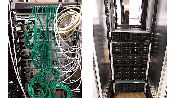

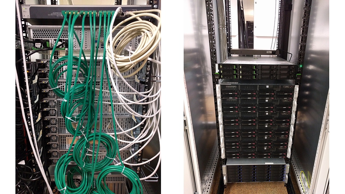
For the processing of time-consuming calculations on large amounts of data (e.g. point cloud data of the Mobile Mapping System) the institute has two experimentation clusters which are based on the parallelisation framework Hadoop. This allows the use of Hadoop technologies on powerful physical platforms (MapReduce, Spark, Hive, ...), e.g. in the context of final theses on Big Data topics.