Localization of mobile objects in the Absence of GPS/GNSS: A Hybrid 2D-3D Approach
| Leitung: | Mortazavi, Sester |
| Jahr: | 2023 |
Introduction and goal of the work
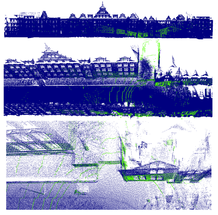
In today's dynamic landscape of autonomous vehicles and robotics, accurate and real-time localization is imperative. While 3D methods have been employed for vehicle localization, their time-consuming nature poses challenges. This research seeks to a novel hybrid approach, bridging the efficiency of 2D methods with the precision of 3D refinement, to offer a faster and more robust solution for vehicle localization.
The primary goal is to investigate and implement a localization method leveraging 2D elevation models generated from point clouds acquired by a Mobile Mapping System (MMS) as the map. Additionally, point clouds from various sensors, including LiDAR, stereo cameras, and Kinect, will be employed for localization. The methodology initiates rough vehicle localization through feature matching in 2D space, followed by a refinement process in 3D space.This integrated approach is designed to not only expedite the localization process but also enhance accuracy and precision, particularly in challenging environments where GPS/GNSS data is unavailable.
Tasks
- Localization of point clouds from different sensors.
- Generating 2D elevation model from point clouds.
- Implementing feature extraction and matching algorithms within the 2D elevation models.
- Establishing methods for rough vehicle localization based on feature matching.
- Conducting experiments in real-world scenarios to validate the proposed hybrid methodology.
- Evaluate and compare algorithm performance with other state of the art methods in terms of accuracy, efficiency, and robustness.
Resources
- Point cloud data obtained from LiDAR, stereo cameras, and Kinect sensors.
Requirements
- Proficient programming skills, particularly in Python.
- Expertise in SLAM algorithms for precise spatial mapping and navigation.
- Experience in working with spatial 3D data, specifically point clouds.
- Image analysis skills for feature extraction and matching.
- Ability to work independently on algorithm development and implementation.
Contact Person
M.Sc. Faezeh Mortazavi (E-Mail Faezeh.Mortazavi@ikg.uni-hannover.de, Tel. 762-19437)
Institut für Kartographie und Geoinformatik, Appelstraße 9 a, 30167 Hannover, Raum 616


