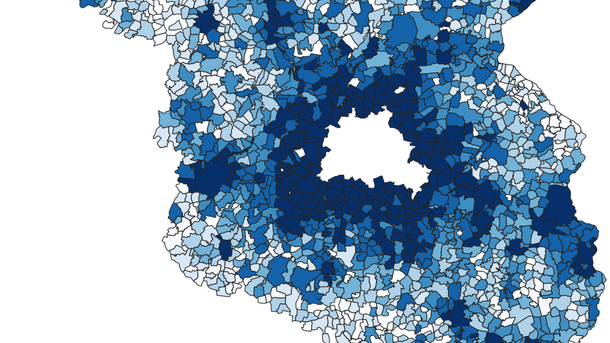
Faculty
Faculty of Civil Engineering and Geodetic Science
Deutsch
Start
Contact
Deutsch
Institute of Cartography and Geoinformatics
Institute
Institute
go to overview
Close menu
Search for Persons
Contact and Directions
History
Jobs
News
Equipment
Events
Studies
Studies
go to overview
Close menu
Open Theses
Courses
Completed Theses
Studienarbeiten (completed)
Student Projects
Student Research Projects
Research
Research
go to overview
Close menu
Publications
Laser Scanning
Big Data and Machine Learning
Mobility
Data Integration
Robotics
Generalization and 3D Visualization
Presentations
Service
Service
go to overview
Close menu
Software
Location Map
Institute
News - Page 2 of 3
News of the Institute
1
2
3
Page 2 of 3.
28th June 2022
Photogrammetry Congress: Best Young Author Award
© IPI
31st May 2022
GeoWerkstatt project of the month: Updating geospatial databases using deep learning
5th May 2022
LUH Student Survey
7th April 2022
Technik-Salon: Video Interview "Land Administration"
4th April 2022
1st Call for NFDI4Earth Incubator Projects
28th March 2022
New Members of the Dean's Office
© Dayne Topkin / Unsplash
10th March 2022
"Start smart" - orientation events for new students
© IPI
8th February 2022
GeoWerkstatt February: Radar satellite images - a usefool tool to assess flood risks
2nd November 2021
Market of Opportunities: Information on theses for students of Geodesy and Geoinformatics
13th October 2021
User study on route choice of map users
8th October 2021
New course on statistical data science
© Nico Herzog
22nd September 2021
Graduation Ceremony 2022
Page 2 of 3.
1
2
3
Institute
General Overview Institute
Search for Persons
History
News
Events
Contact and Directions
Jobs
Equipment
Faculty of Civil Engineering and Geodetic Science
Contact