Faculty
Faculty of Civil Engineering and Geodetic Science
Deutsch
Start
Contact
Deutsch
Institute of Cartography and Geoinformatics
Institute
Institute
go to overview
Close menu
Search for Persons
Contact and Directions
History
Jobs
News
Equipment
Events
Studies
Studies
go to overview
Close menu
Open Theses
Courses
Completed Theses
Studienarbeiten (completed)
Student Projects
Student Research Projects
Research
Research
go to overview
Close menu
GeoAI: Machine Learning und Spatial Data Science
Robotics
Datasets
Cartography: Generalization and Visualization
Data Integration
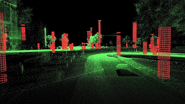
Laser Scanning
Publications
Mobility
Presentations
Service
Service
go to overview
Close menu
Software
Location Map
Institute of Cartography and Geoinformatics
Institute
News
News of the Institute
1
2
3
4
Page 4 of 4.
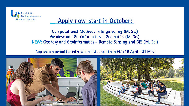
15th April 2025
Master application period for students from non-EU countries
9th November 2020
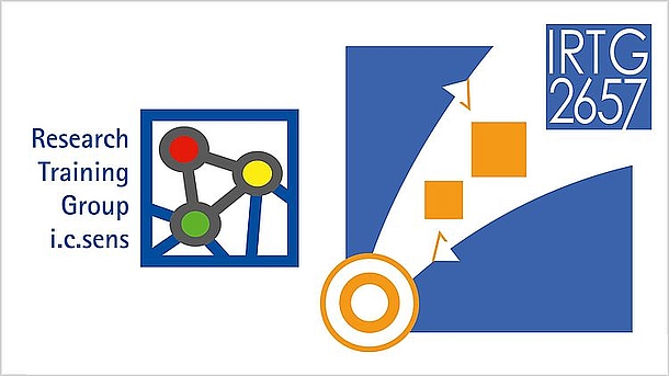
Double Success: DFG provides funding for two Research Training Groups
© N. Doherty|S.Grusche /CC-BY-SA-3.0|IfE/LUH
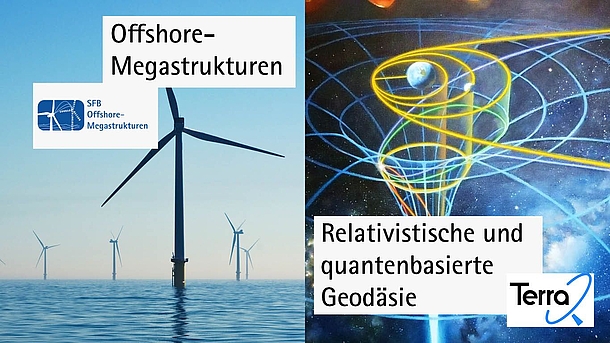
27th November 2020
DFG approves two new collaborative research centres
30th July 2019
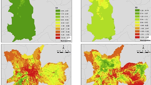
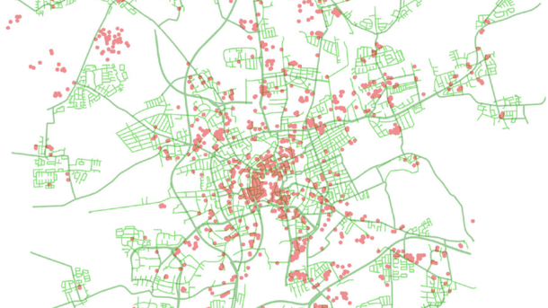
New Paper: Learning about spatial inequalities: Capturing the heterogeneity in the urban environment
30th July 2019
New Paper: Real-world meeting points for shared demand-responsive transportation systems
31st May 2019
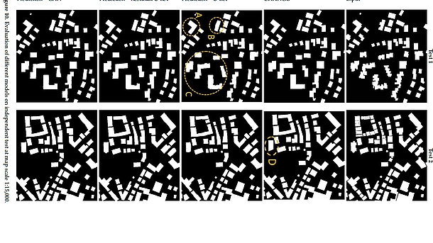
Kartographische Generalisierung mit Deep Learning
30th July 2019
Wanted: Wissenschaftliche Mitarbeiterin / Wissenschaftlicher Mitarbeiter für Forschung und Lehre gesucht - 3 Jahre mit Option auf Verlängerung auf 6 Jahre
Page 4 of 4.
1
2
3
4
Institute
General Overview Institute
Search for Persons
History
News
Events
Contact and Directions
Jobs
Equipment
Faculty of Civil Engineering and Geodetic Science
Contact