Since 1970, the Institute of Cartography and Geoinformatics (IKG) has focused on research and development in the field of topographic data acquisition, analysis and representation. The Topographical Evaluation System Hannover (TASH) can be regarded as the most important result for research and practice. The program system is further developed and maintained and adapted to supported operating systems (currently Windows NT 4 and Windows 2000).
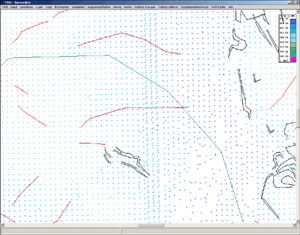
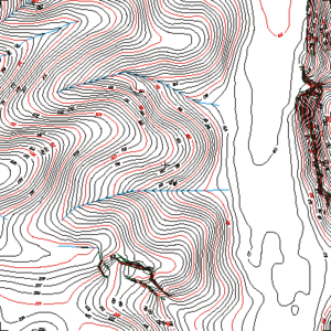
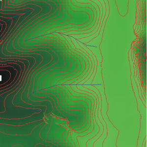
The relief information collected for the calculation of the Digital Terrain Model (DTM) is in geometrical regard available as point clusters with position coordinates and height and depth data for each measuring point. In the case of topographic mapping, additional information on the point type is recorded which is necessary for correct morphological relief modelling. The data is structured using a specifically developed data editor.
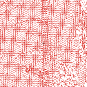
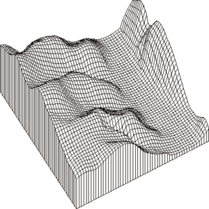
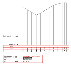
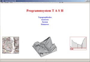
From the point cluster, the TASH system calculates a grid (DTM) using a triangle mesh or directly by using gliding surfaces. All subsequent products, such as isolines, differences and volumes, perspective views (3D), profiles and color representations are derived from this grid.